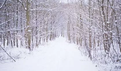
The snow in Southwest Michigan is expected to continue through much of the week, while temperatures will start to climb into the 20s over the weekend.
National Weather Service meteorologist Jim Andersen tells us it’s the lake effect that’s been pounding the region, something that’s caused when frigid air is affected by relatively warm Lake Michigan waters.
“You’re looking at around 30, 32 degrees difference between the air above the lake and then the lake water,” Andersen said. “So, 20 to 30 degrees is something we look for. Obviously, it could be larger, and that may make it more efficient as a lake effect machine.”
Andersen says additional disturbances in the weather, like high winds, can lead to even more snow in conditions like this.
“So any little snow showers we would typically get with a disturbance, you’re seeing that enhancement with the lake effect.”
Andersen says as the temperature hits the 20s over the weekend, the outdoors will feel relatively balmy to many, just coming out of the single digit temperatures we’ve been experiencing for the past week.


